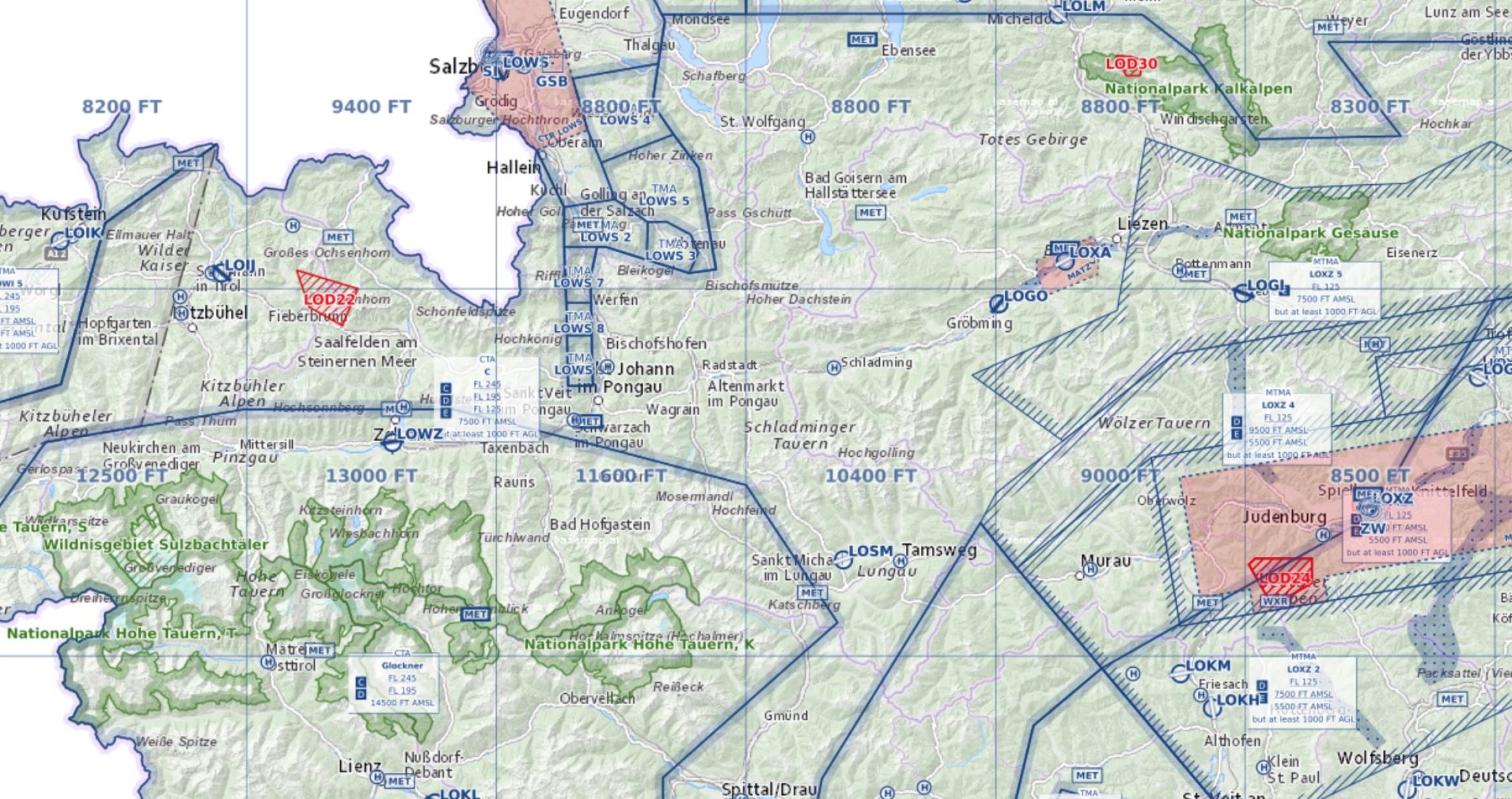
- National parks including links to the respective provincial government laws according to AIP Austria GEN 1.6 in the info box. Collection of information about laws is not fully completed yet. Therefore the information will be continuously amended in collaboration with the national parks administration.
- Maximum elevation figures, as currently already displayed in the Aeronautical Chart - ICAO 1:500.000.
Thu 26.03.2020
New Features in the Online Chart VFR Austria
With effective date 26 MAR 2020 the following information will also be available via our online chart at https://maps.austrocontrol.at: