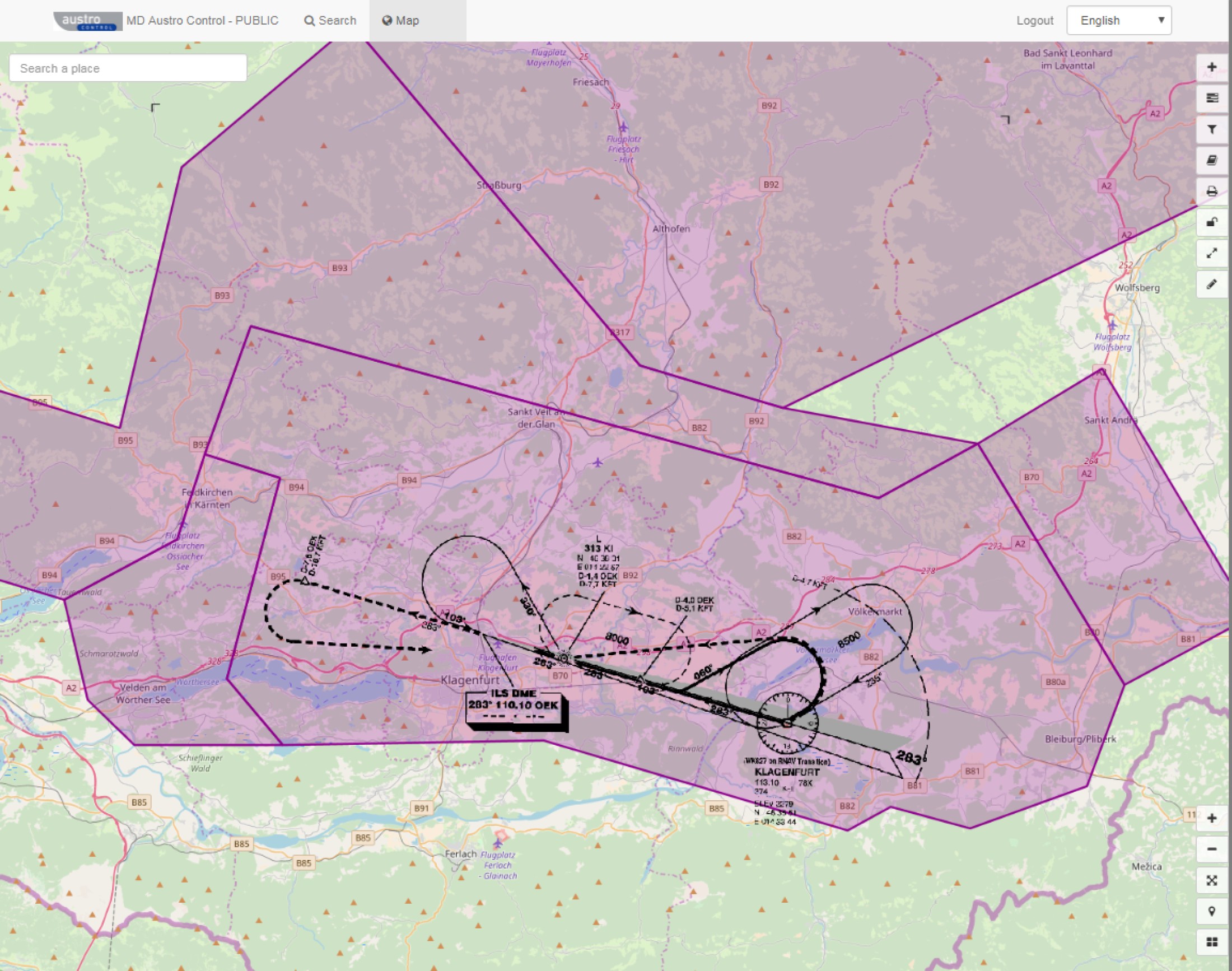
Austro Control provides aeronautical charts and spatial data as a web service.
This link will take you to the Geodata Portal
From within the spatial data infrastructure searching, viewing of charts and data and sometimes even the download of the data is possible.
The metadata presentation, viewing and download of the spatial data follows the ISO 19100 series (Catalogue Service Web (CSW), Web Map Service (WMS) und Web Feature Service (WFS)).
The data covers mainly the charts from the AIP Austria and data relevant for INSPIRE.
The services and web pages are available in english only.

